
BUILDINGS AND URBAN AREAS – CULTURAL HERITAGE VALUATION
WHAT DOES STEENHUISMEURS DO?
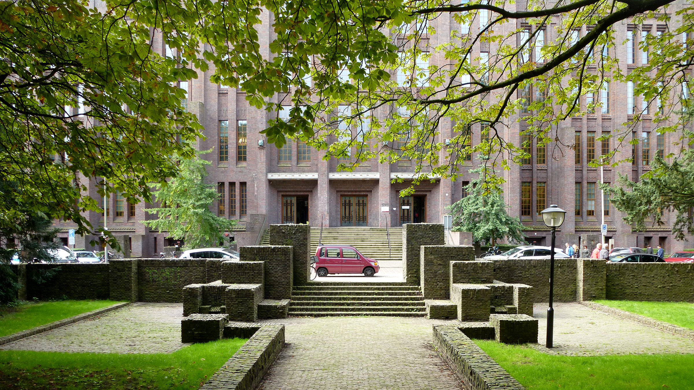
Historical buildings and urban areas lose their original function and are in need of a second or even a third life. How can they be transformed into the reality of today in such a way that they gain renewed social significance and financial value, while at the same time maintaining their identity and spatial quality? We visualise opportunities and conditions by mapping the essence of the cultural heritage and the core qualities; a sort of baseline measurement. What have previous generations done at this location? How did the building and its surroundings relate to each other? Which are the crucial design issues and how is the design to be placed within the architect’s oeuvre? What kind of memories, associations and feelings does the building evoke? From such research questions we distil the ingredients for a new chapter in the architectural and usage history. This certainly does not only concern monumental buildings and areas. Buildings can be very ordinary and nevertheless have great symbolic significance. In those cases, it is the intangible value which counts and which can play a special role in the context of a new construction. We translate our findings into a valuation assessment, a quick scan, a cultural heritage assessment study or a proposal for a monument inventory. Our clients often ask us to share our thoughts on transformation possibilities or planning guarantees in the follow-up process.
CASE 1
NOORDERHAVENKADE SCHOOL
Cultural heritage assessment
commissioned by the Municipality of Rotterdam
In Blijdorp, Rotterdam, stands a remarkable school building amidst monumental pre-war housing blocks. The complex is characteristic of both the architecture and the educational innovations of the early 1980s. When it opened in 1981, it housed three schools, a public library, a community canteen, and a sports hall. The design by municipal architect H.J. Völker reflects the educational reforms of the time. The building provides space for both collective and independent learning, and each classroom has a strong connection to the surrounding outdoor areas.
After more than forty years, the complex is due for renewal. The schools are working with the Municipality of Rotterdam to explore future possibilities. To support this, SteenhuisMeurs made a cultural-historical assessment. The findings provide a foundation for its future redevelopment.

The school complex: varied on all scales
CASE 2
SURROUNDINGS OF TRAIN STATION DRIEBERGEN-ZEIST
Cultural heritage assessment
commissioned by the municipalities of Utrechtse Heuvelrug and Zeist
At the Driebergen-Zeist station the sand of the Utrechtse Heuvelrug meets the clay soils of the Kromme Rijn region. The opening of the Utrecht-Arnhem railway (1843–1854) stimulated the development of country estates and industrial sites. This densification was boosted further by the construction of the A12 motorway in the 20th century. Despite these infrastructural changes, the historical structure remains largely intact.
Planned housing near the station prompted a cultural heritage study focused on the relationship between landscape, built environment, and spatial structure. The Odijkerweg, a medieval route, runs through this area along gardeners’ and workers’ houses. Looking forward, this historic ribbon can play an important role for the structure and identity of future developments.
The research included a spatial analysis and a heritage assessment. Based on this, recommendations were made to use the area’s historic qualities as added value for future development and to enable strong landscape and urban integration.

Sport fields in the garden of De Breul, close to the station
CASE 3
KRANENBURG-NOORD, HARDERWIJK
Cultural heritage quickscan
commissioned by ECHO Urban Planners
In the past 60 years, the area south of Harderwijk station has undergone significant changes. From a military cluster of barracks, officers' housing and training grounds in the predominantly agricultural landscape, the area transformed into an urban environment with an open zone at its heart. As part of the redevelopment of Kranenburg-Noord, SteenhuisMeurs presented the history of this former military site. Eight cultural-historical themes provide inspiring points of departure. The barracks camp from the 1920s was largely constructed from reused materials and dismantled buildings from former Belgian refugee camps. The establishment of the Infantry School in 1948, introduced buildings of brick and concrete to the area, resulting in a legacy of buildings from different periods. The brutalist concrete staff building was announced ‘ultra-modern’ in the year of its opening, 1991. The site is surrounded by a beautiful, semi-open green belt of trees that makes the area accessible yet provides a sense of security. The communal use of the land before the military settled here can also inspire new communal facilities.

Image source: Collectie Stadsmuseum Harderwijk
BUILDINGS AND URBAN AREAS – CULTURAL HERITAGE VALUATION
WHAT DOES STEENHUISMEURS DO?
Historical buildings and urban areas lose their original function and are in need of a second or even a third life. How can they be transformed into the reality of today in such a way that they gain renewed social significance and financial value, while at the same time maintaining their identity and spatial quality? We visualise opportunities and conditions by mapping the essence of the cultural heritage and the core qualities; a sort of baseline measurement. What have previous generations done at this location? How did the building and its surroundings relate to each other? Which are the crucial design issues and how is the design to be placed within the architect’s oeuvre? What kind of memories, associations and feelings does the building evoke? From such research questions we distil the ingredients for a new chapter in the architectural and usage history. This certainly does not only concern monumental buildings and areas. Buildings can be very ordinary and nevertheless have great symbolic significance. In those cases, it is the intangible value which counts and which can play a special role in the context of a new construction. We translate our findings into a valuation assessment, a quick scan, a cultural heritage assessment study or a proposal for a monument inventory. Our clients often ask us to share our thoughts on transformation possibilities or planning guarantees in the follow-up process.
CASE 1
NOORDERHAVENKADE SCHOOL
Cultural heritage assessment
commissioned by the Municipality of Rotterdam
In Blijdorp, Rotterdam, stands a remarkable school building amidst monumental pre-war housing blocks. The complex is characteristic of both the architecture and the educational innovations of the early 1980s. When it opened in 1981, it housed three schools, a public library, a community canteen, and a sports hall. The design by municipal architect H.J. Völker reflects the educational reforms of the time. The building provides space for both collective and independent learning, and each classroom has a strong connection to the surrounding outdoor areas.
After more than forty years, the complex is due for renewal. The schools are working with the Municipality of Rotterdam to explore future possibilities. To support this, SteenhuisMeurs made a cultural-historical assessment. The findings provide a foundation for its future redevelopment.
The school complex: varied on all scales
CASE 2
SURROUNDINGS OF TRAIN STATION DRIEBERGEN-ZEIST
Cultural heritage assessment
commissioned by the municipalities of Utrechtse Heuvelrug and Zeist
At the Driebergen-Zeist station the sand of the Utrechtse Heuvelrug meets the clay soils of the Kromme Rijn region. The opening of the Utrecht-Arnhem railway (1843–1854) stimulated the development of country estates and industrial sites. This densification was boosted further by the construction of the A12 motorway in the 20th century. Despite these infrastructural changes, the historical structure remains largely intact.
Planned housing near the station prompted a cultural heritage study focused on the relationship between landscape, built environment, and spatial structure. The Odijkerweg, a medieval route, runs through this area along gardeners’ and workers’ houses. Looking forward, this historic ribbon can play an important role for the structure and identity of future developments.
The research included a spatial analysis and a heritage assessment. Based on this, recommendations were made to use the area’s historic qualities as added value for future development and to enable strong landscape and urban integration.
Sport fields in the garden of De Breul, close to the station
CASE 3
KRANENBURG-NOORD, HARDERWIJK
Cultural heritage quickscan
commissioned by ECHO Urban Planners
In the past 60 years, the area south of Harderwijk station has undergone significant changes. From a military cluster of barracks, officers' housing and training grounds in the predominantly agricultural landscape, the area transformed into an urban environment with an open zone at its heart. As part of the redevelopment of Kranenburg-Noord, SteenhuisMeurs presented the history of this former military site. Eight cultural-historical themes provide inspiring points of departure. The barracks camp from the 1920s was largely constructed from reused materials and dismantled buildings from former Belgian refugee camps. The establishment of the Infantry School in 1948, introduced buildings of brick and concrete to the area, resulting in a legacy of buildings from different periods. The brutalist concrete staff building was announced ‘ultra-modern’ in the year of its opening, 1991. The site is surrounded by a beautiful, semi-open green belt of trees that makes the area accessible yet provides a sense of security. The communal use of the land before the military settled here can also inspire new communal facilities.